This listing expired on September 30, 2024. Please contact info@achill-fieldschool.com for any updated information.
Location: Achill Archaeological Field School, Dooagh, Achill Island, County Mayo, Ireland
Season: June 24, 2024 to August 9, 2024
Session Dates: 24/06/2024 - 02/08/2024 24/06/2024 - 19/07/2024 22/07/2024 - 02/08/2024 05/08/2024 - 09/08/2024
Application Deadline: May 31, 2024
Deadline Type: Rolling
Website: https://achill-fieldschool.com
Discount for AIA members: €100
Program Type:
Field School, Volunteer, Staff Position
RPA Certified:
No
Affiliation:
University of Galway (Ireland)
Project Director:
Leo Morahan
Project Description:
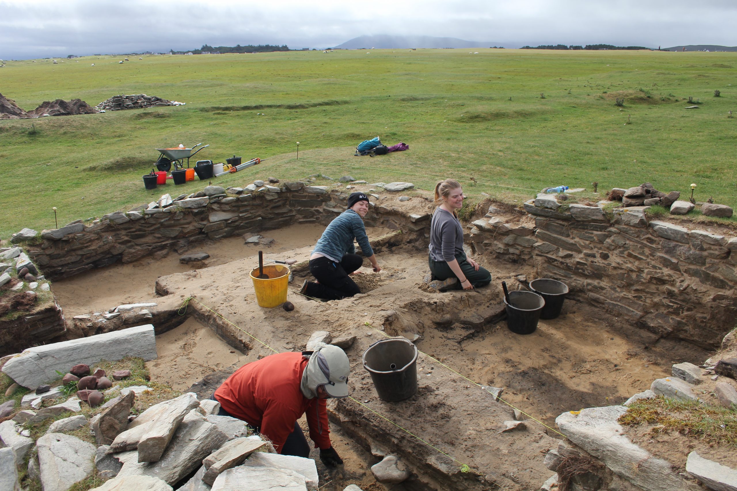
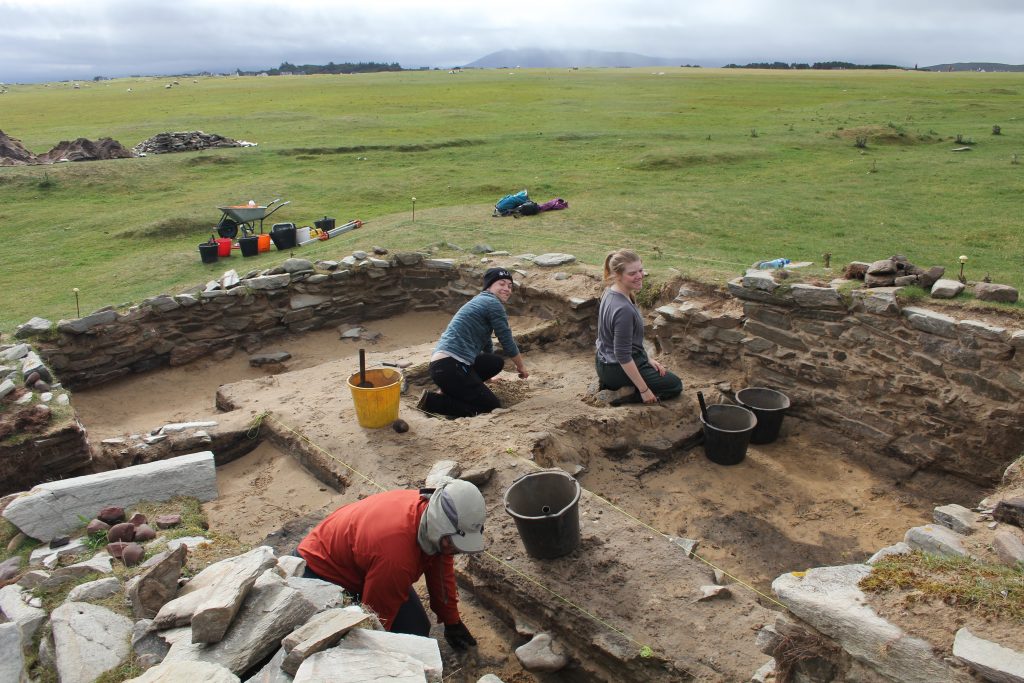
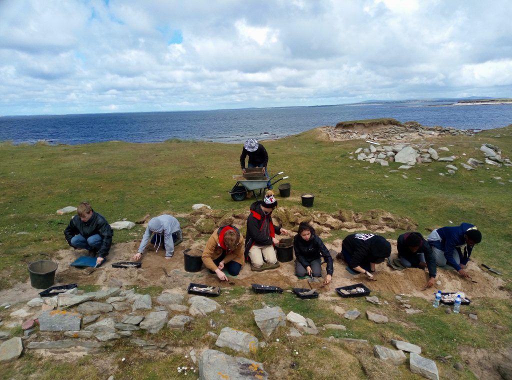
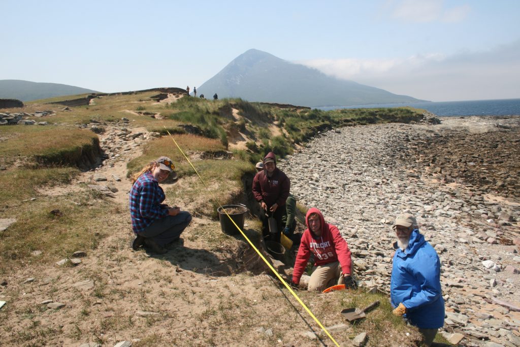
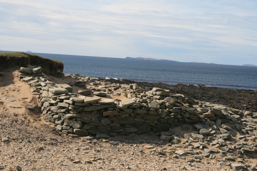
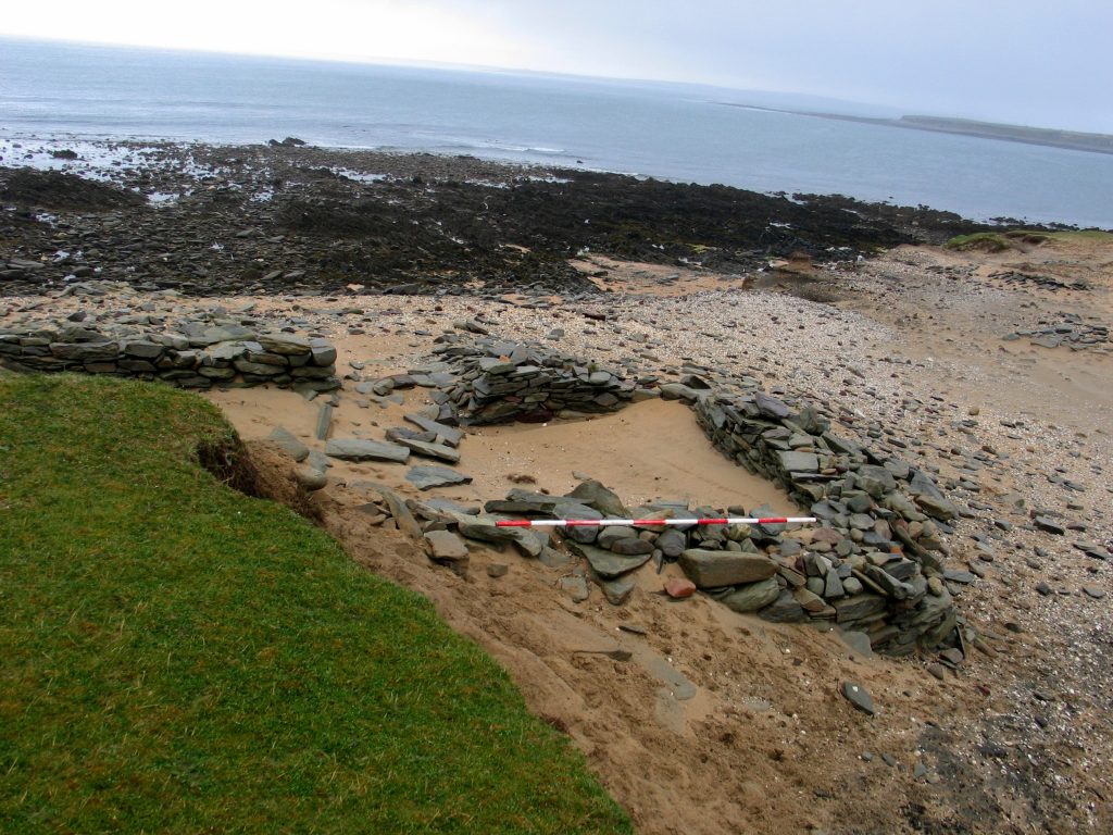
In 2024, Achill Archaeological Field School will return to Caraun Point in Tonatanvally, Achill Island for a third season of excavation and survey. The primary focus of the 2024 season will be two drystone houses and a shell midden dating to the post medieval period (AD 1550-1900) or earlier. In general, the buildings at Caraun Point post-date the latest horizon of machair (a low-lying, grass-dominated coastal plain composed of calcareous sand, with a high calcium carbonate content up to c. 80%), which began to accumulate c. 700 years ago (Halpin 2008, 18) giving them a terminus post quem of c. AD 1300. The houses are in a dynamic coastal environment which is constantly evolving due to wind and wave action. Previous excavations on the site recovered a quantity of artefacts that included glass and pottery, a rotary quern stone, along with bone and shellfish remains, including dog whelks. Analysis of these objects give us an insight into the livelihood and diet of the people who lived here. One unexpected discovery was the presence of a probable Early Medieval ringfort immediately to the west of our excavation. Habitation deposits associated with this site were evident beneath the post-medieval houses and some artefacts of 8th to 10th century were recovered. This year’s excavation season will uncover more information about this really interesting site, so please join us and be part of our discovery team.
Period(s) of Occupation: 1550 to 1900 AD
Notes:
The machair-covered promontory of Caraun Point is the setting of a dense multi-period archaeological complex extending over an area of c.180m by 100m east/west, and comprising fifteen monuments marked on various maps. They include a robbed-out caher, a children’s burial ground or cillín, six middens, five dry-stone buildings, two potential structures, and a relict field boundary. Some 300m to the east of the site is an unclassified cairn, and there are two additional middens located c.250m south and c.450m east of the site.
Prehistoric activity at the site is indicated by the adjacent unclassified cairn and the recovery of a number of stray finds of prehistoric date from the site including quartz and flint lithics and a polished stone axe. None of the eight middens recorded on the peninsula have been dated, but it is very possible that at least some of them contain prehistoric material. It is also worth noting that the stretch of rocky coastline between Barnynagappul Strand and Dooagh—just over a kilometre west of Caraun Point—contains two coastal promontory forts and the site of a cist. A significant early–high medieval horizon of activity is represented by the caher (stone fort). This monument lay on the western tip of the peninsula and it is depicted on the 1838 OS map as a shaded circle, although John O’Donovan (OS) noted that it was significantly robbed out when he visited the site. Little trace of the caher survives today. A number of stray finds from the site, including a silver penny of Edward I (c.1280–1302), and a ‘BIRD shaped piece of iron’ found during illegal metal detecting, may belong to this phase. Some of the middens may also date to this phase.
The site possesses a significant late medieval–early modern phase of settlement represented by a series of dry-stone structures eroding out of the sand. They are recorded on maps as three structures, one building, and two houses of indeterminate date. A stretch of drystone wall recorded as a field boundary is also associated with this phase of settlement.
Project Size: 1-24 participants
Minimum Length of Stay for Volunteers: 2 weeks
Minimum Age: 17 years and upwards
Experience Required: None. Beginners particularly welcome, as are mature students.
Room and Board Arrangements:
Self-catering accommodation (sharing) in modern, fully equipped Accommodation Block with everything supplied except food. Accommodation is located in our Accommodation Block next door to Folklife Centre in Dooagh Village.
Academic Credit:
9 Semester Hours/18 ECTS available
Dr. Theresa McDonald
info@achill-fieldschool.com
Achill Island
County Mayo
F28HK11
Ireland
Phone: +353 (0) 87 6772045
The AIA is North America's largest and oldest nonprofit organization dedicated to archaeology. The Institute advances awareness, education, fieldwork, preservation, publication, and research of archaeological sites and cultural heritage throughout the world. Your contribution makes a difference.