Location: Museu Nacional d'Art de Catalunya, Parc de Montjuïc, Barcelona, Spain
Season: July 14, 2027 to September 21, 2027
Session Dates: Session 1: July 14-29 (USD 2,600) | Session 2: August 1-16 (2,600) | Session 3: August 19 - September 3 (2,600) | Session 4: September 6-21 (2,600). All sessions 2027, 16 days each. Rolling admission until each session is full.
Application Deadline: September 6, 2027
Deadline Type: Rolling
Program Type:
Field School
RPA Certified:
No
Affiliation:
Sanisera Archaeology Institute for International Field Schools
Project Director:
Fernando Contreras Rodrigo, Course Director. Licenciatura in History with specialisation in Classical Archaeology (Autonomous University of Barcelona), a five-year degree officially recognised in Spain at Master's level (MECES 3). Director of the Sanisera Archaeology Institute; since 1993 he has directed research, conservation and heritage-management projects in Spain, Italy and the United Arab Emirates, and since 2015 annual excavation and restoration missions for the Government of Dubai.
Adrián Fernández Sánchez, instructor in GIS and remote sensing. PhD in Climatology and flood hazards; professor of Remote Sensing at the Complutense University of Madrid; with Sanisera since 2018 (Carthage, Dubai, Menorca, Saudi Arabia).
Esther Fernández Colomo, GIS analyst and instructor. Archaeologist specialised in Geographic Information Systems (Complutense University of Madrid), trained in drone photogrammetry and machine learning applied to GIS; GIS technician for the Institute in Dubai (2025-2026).
All courses are taught by instructors holding master's or doctoral degrees.
Project Description:
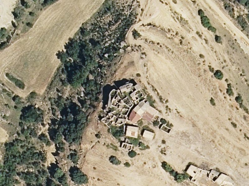
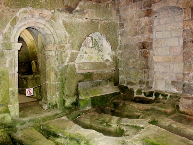
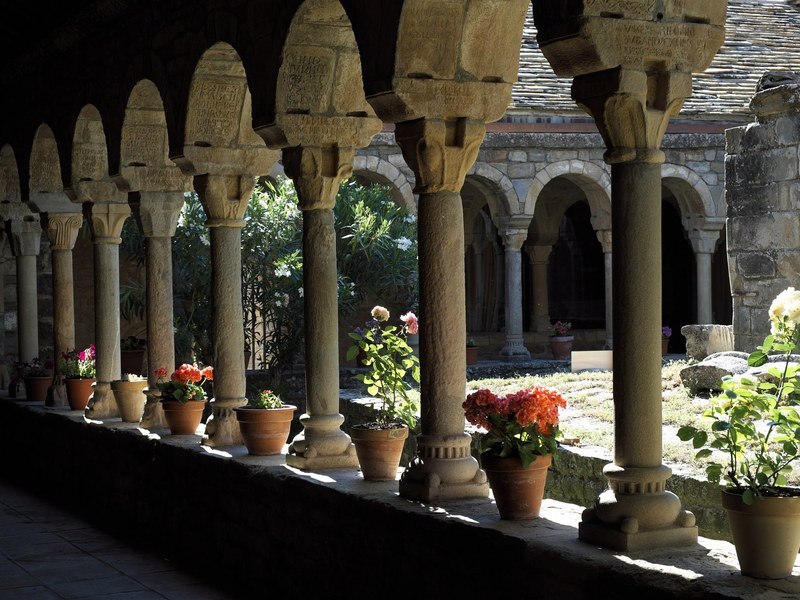
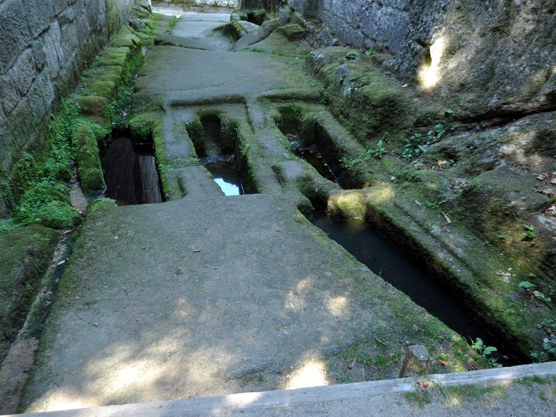
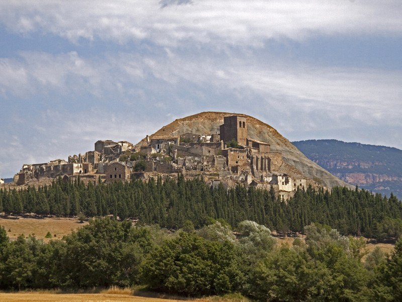
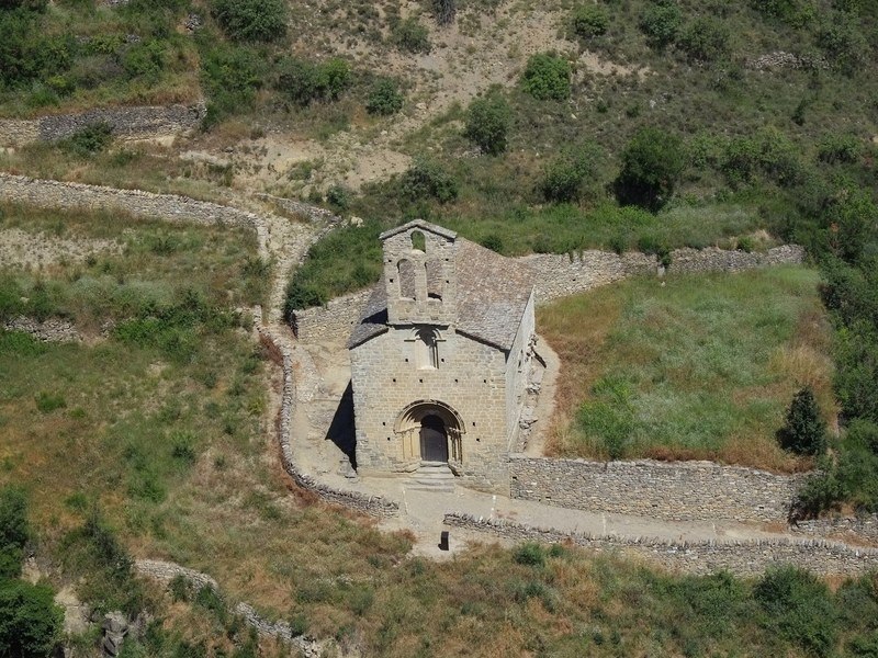
A landscape-archaeology course on the medieval Pyrenees, the area of Spain with the highest density of Romanesque sites of the 10th to 14th centuries: churches, monasteries, castles, abandoned villages and rock-cut necropolises. Within 70 minutes of the base at Malpàs (El Pont de Suert, Lleida), 37 sites and 20 abandoned villages have been inventoried for study. The course is run by the Sanisera Archaeology Institute, which has trained more than 3,400 students, most of them from universities in the United States and Canada, since 1996.
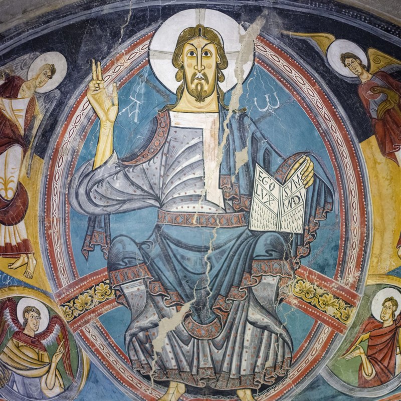
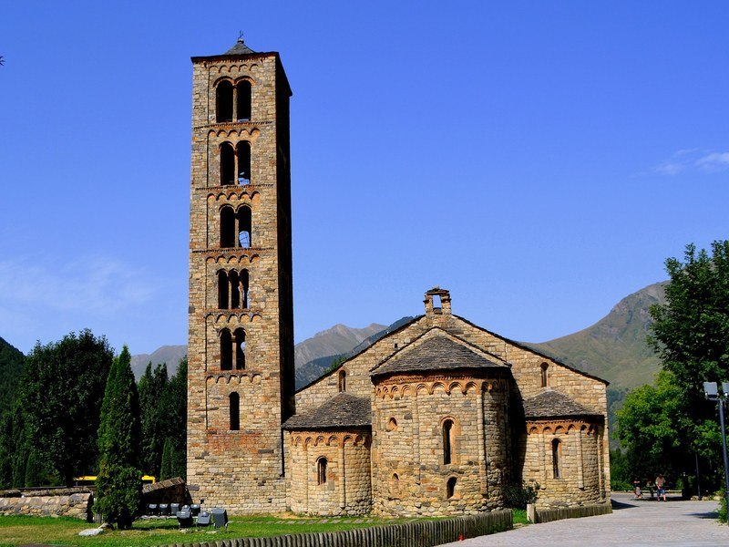
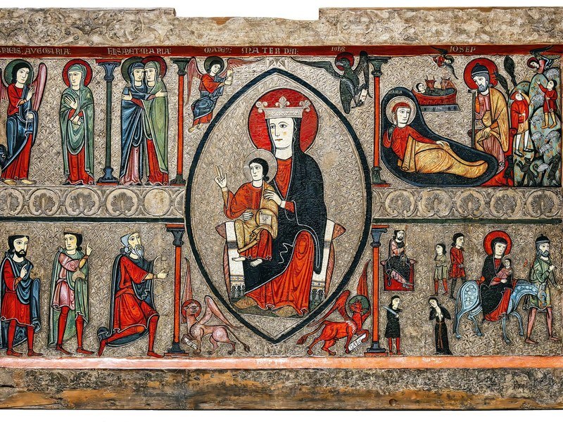
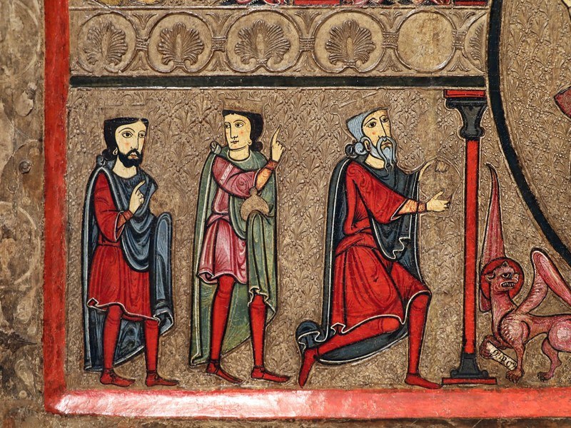
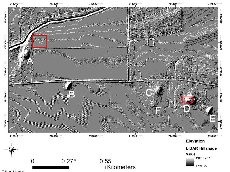
Course 060 teaches students to locate, assess and document archaeological sites with current digital techniques: LiDAR processing, drone photogrammetry, GNSS positioning, GIS (QGIS or ArcGIS) and the Claude AI assistant for the organisation and analysis of data. Each day combines field reconnaissance of one or more sites with laboratory processing of the data collected, and the course ends with a report on the viability of each site for future survey or excavation. A visit to the Romanesque churches of the Vall de Boí (UNESCO World Heritage) and to the Romanesque collection of the Museu Nacional d’Art de Catalunya (Barcelona) is included. No excavation; no previous experience required.
Learning outcomes. On completion students are able to: locate potential sites from heritage inventories, historical cartography and online repositories; assess a medieval site in the field (architecture, preservation, functional areas, access, signs of a necropolis); fly a documentation mission with a drone under supervision and take GNSS coordinates; produce orthophotos and 2D/3D photogrammetric models; process LiDAR data, interpret anomalies and ground-truth them; build a GIS project with the archaeological map and its information layers; and write a study diary and a viability report and present it orally.
Format. Each session lasts 16 days: 9 days of field reconnaissance and laboratory work (7.5 hours), 1 day of museum and monument visits, 1 day for the personal report, 2 travel days (Barcelona airport transfer included) and 3 rest days, for approximately 80 instructional hours. Taught in English by instructors holding master’s or doctoral degrees, in groups of no more than 6 students. Own laptop compulsory.
Assessment. Daily participation and professional conduct (40 %), study diary (20 %), site record forms and GIS attribute tables (20 %) and a final presentation of the viability report of one site (20 %); letter grades A to F; minimum attendance 85 %. Students receive a Certificate of Completion stating the course, dates, 80 instructional hours and final grade and, on request, a Student Evaluation Report signed by the Course Director for their home institution.
Sessions and tuition 2027 (16 days each, USD 2,600): July 14-29 · August 1-16 · August 19 – September 3 · September 6-21. Rolling admission until each session is full.
A full syllabus is attached to this listing as the brochure. Course page: www.archaeology.institute/060-lidar-photogrammetry-gis-claude-ai-archaeological-sites-pyrenees.asp · Apply: application form
Period(s) of Occupation: Medieval (10th - 14th centuries AD): Romanesque churches, monasteries, castles, abandoned villages and rock-cut necropolises of the Catalan and Aragonese Pyrenees. Landscape archaeology and digital heritage documentation (LiDAR, photogrammetry, GIS, AI).
Notes:
FORMAT AND INSTRUCTIONAL HOURS. Each session lasts 16 days: 9 days of field reconnaissance and laboratory work (7.5 h: 5.5 h in the field, 2 h processing the day's data), 1 day of museum and monument visits (Vall de Boí, UNESCO, and the Romanesque collection of the MNAC in Barcelona), 1 day for the personal report and presentation, 2 travel days (Barcelona airport transfer included) and 3 rest days = approx. 80 instructional hours. No excavation. Taught in English; maximum 6 students per session (capacity of the apartment); instructors hold master's or doctoral degrees. Own laptop compulsory.
ASSESSMENT. Daily participation and professional conduct (40 %), study diary (20 %), site record forms and GIS attribute tables (20 %) and a final presentation of the viability report of one site (20 %). Letter grades A-F; minimum attendance 85 %. Students receive a Certificate of Completion stating the course, dates, 80 instructional hours and final grade and, on request, a Student Evaluation Report signed by the Course Director for their home institution.
SYLLABUS. The full syllabus is attached as the brochure of this listing and published on the course page.
PAYMENT. A deposit of USD 450 (part of the tuition) reserves the place; the balance is due 60 days before the session. Students who enrol in two consecutive sessions receive free accommodation on the days between them. Refund policy on the website.
Project Size: 1-24 participants
Minimum Length of Stay for Volunteers: One session (16 days)
Minimum Age: 18.
Experience Required: None. No previous knowledge of archaeology or of the software is required. Own laptop compulsory (QGIS is free; ArcGIS course licences are provided). Ability to walk 15-20 minutes on mountain paths. Introductory / intermediate level.
Room and Board Arrangements:
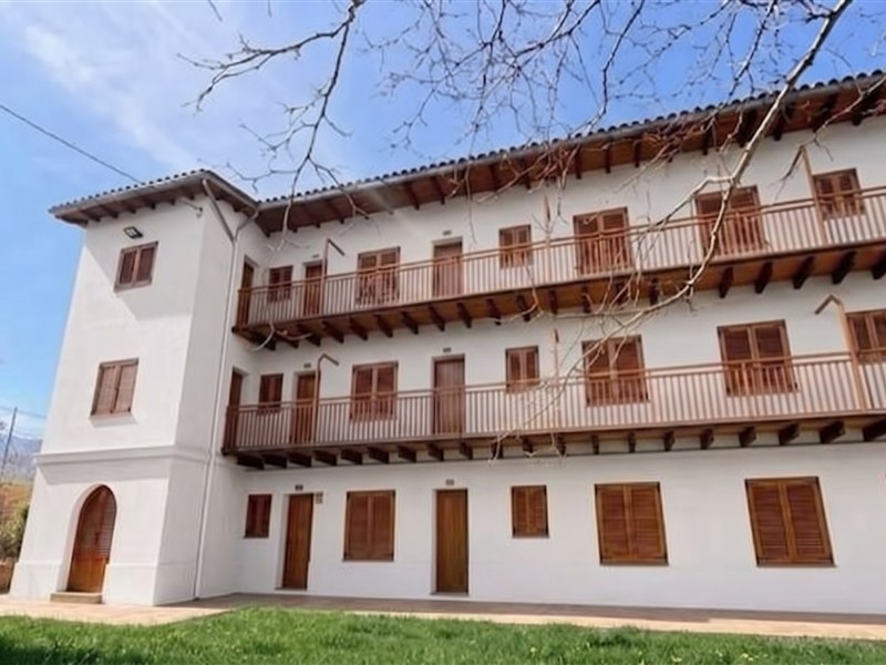
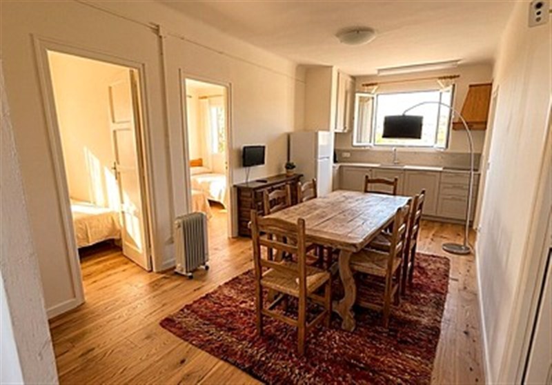
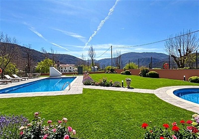
ROOM: included. Accommodation in the Malpàs apartment (El Pont de Suert, Lleida), in three shared rooms for a maximum of three people of the same sex per room, with wifi, air conditioning, bathroom, dining room, terrace with swimming pool and garden.
BOARD: not included. Students eat in cafes and restaurants recommended by the Institute, or picnic in the field (budget approx. EUR 23 per day).
TUITION INCLUDES: tuition and teaching, transfer from Barcelona airport to Malpàs on the first day and back on the last day, daily transport to the sites (minibus and 4x4), accident insurance for the fieldwork, visit to the MNAC (Barcelona) and to museums and Romanesque sites of the Pyrenees, accommodation, Certificate of Completion and the letter of invitation for the Schengen visa if required.
NOT INCLUDED: airfare to/from Barcelona and meals.
Academic Credit:
Available through the student's home institution. The Sanisera Archaeology Institute does not award credit directly, but provides everything a department needs to grant it: a full syllabus (80 instructional hours, learning outcomes, assessment and A-F grading), a Certificate of Completion with the final grade and, on request, a Student Evaluation Report signed by the Course Director. Students from more than 40 universities in the USA, Canada, the UK and Australia have obtained credit for Sanisera courses this way (reference scale: 80 hours = 4 semester credits). Pre-approval from the student's department before registration is recommended. A School of Record agreement with a US accredited institution is in progress. Details: www.archaeology.institute (Academic credit).
Fernando Contreras Rodrigo
Apdo. 68
Es Mercadal
Menorca, Balearic Islands
07740
Spain
The AIA is North America's largest and oldest nonprofit organization dedicated to archaeology. The Institute advances awareness, education, fieldwork, preservation, publication, and research of archaeological sites and cultural heritage throughout the world. Your contribution makes a difference.