Affiliation: Hiram College
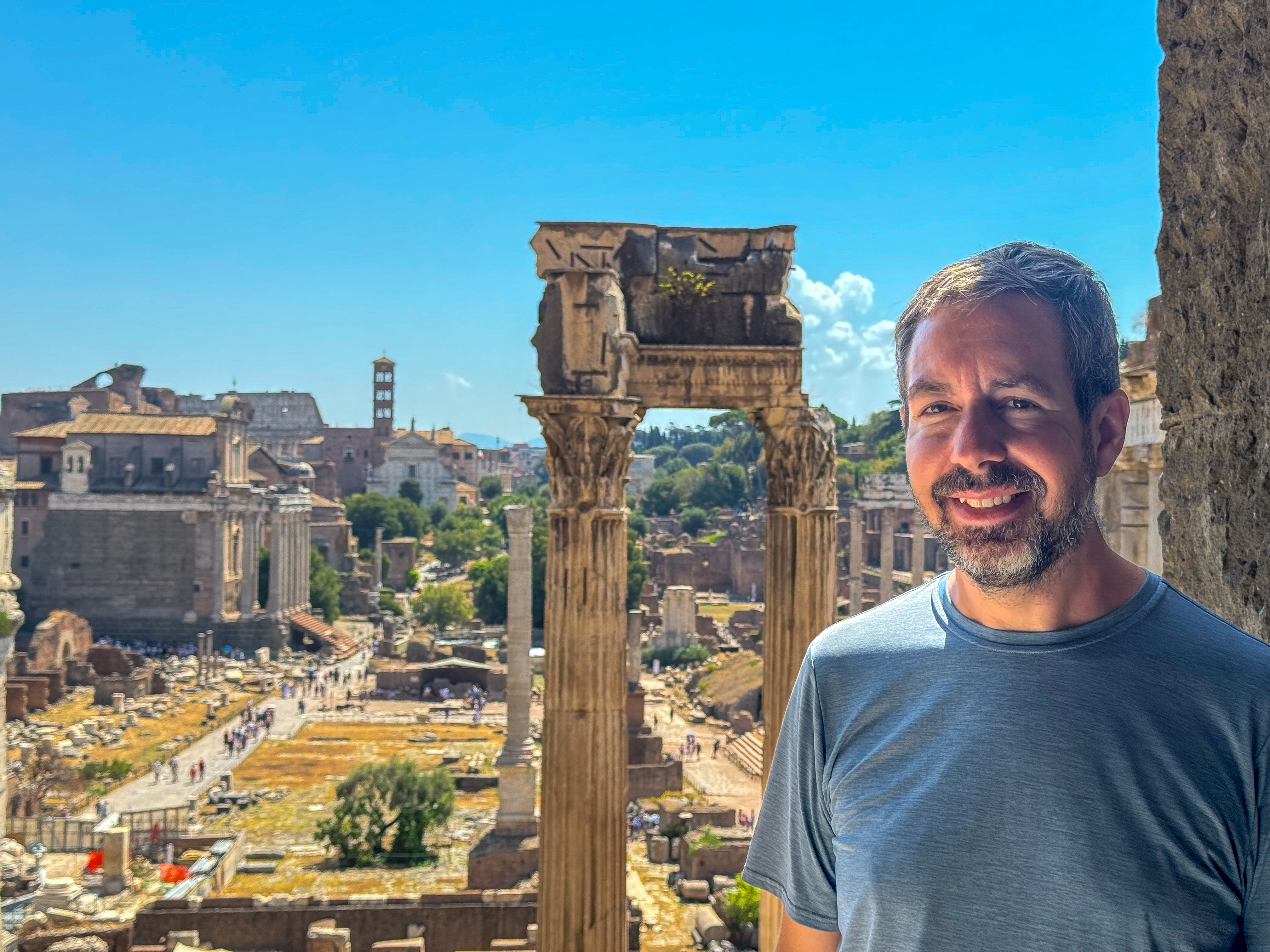
Matthew Notarian is a Roman archaeologist whose research explores the intersection of social history and archaeology, focusing on the cities of Roman Italy. At present, he co-directs the Sentinum City Archaeological Research Project, a new excavation of a Roman urban center in Marche, Italy. He has also worked at several sites in Italy and Greece, including with the Tharros Archaeological Research Project in Sardinia. Broadly, he is interested in how urban institutions shaped the daily experiences of their inhabitants, and he is especially interested in using computational and quantitative methods to better understand social phenomena. To this end, he employs GIS modeling, network analysis, photogrammetry, and other 3D analysis techniques in his research. Notarian currently holds academic appointments at John Carroll University and the University of Akron. Previously, he was Associate Professor of Classics at Hiram College and taught at Tulane University and Johns Hopkins University. He earned a PhD in Classics from the University at Buffalo, and was a fellow of the American Academy in Rome and an exchange fellow of the Scuola Normale Superiore in Pisa.
In the last couple of decades, emerging technologies for 3D reality capture, such as photogrammetry, have revolutionized field recording practices for archaeological projects. The pace of change continues to accelerate as commercially available LiDAR scanners, integrated into many smartphones, put sophisticated 3D scanners into the hands of excavators and drones become smaller, more versatile, lightweight, and affordable. Yet, the full potential of these tools is just starting to become realized through the development of new forms of analysis. This talk provides an overview of many of these methodologies as applied to archaeological projects in various parts of Italy and Sardinia, including the Sentinum City Archaeological Research Project, the Tharros Archaeological Research Project, excavations of different Roman villas, and a study of public fountains in Pompeii. Particular attention will be given to innovative techniques for producing fully 3D volumes of archaeological strata, which aid in visualization and quantification of data, 3D analysis of complex multiphase architecture, quantitative comparison of photogrammetry and Apple iOS based LiDAR as fieldwork recording tools, and methods of measuring use-wear on street fountains based on morphometrics (the quantitative analysis of size and shape).
The Sentinum City Archaeological Research Project (SCARP) is a recently launched collaboration based in Sassoferrato, Italy, involving Hiram College, the Kansas City Art Institute, and the Superintendency for the provinces of Ancona and Pesaro-Urbino. Its purpose is to examine Sentinum, an ancient Roman town renowned as the site of the “Battle of the Nations” in 295 BCE. At its height during the imperial era, Sentinum functioned as a municipium strategically positioned east of the Apennines, along routes connecting the Via Flaminia to the Adriatic coast. This talk introduces the project in its regional setting in central Marche and presents highlights from its initial field seasons.
SCARP’s research looks beyond monumental architecture to investigate the city’s residential and working quarters, areas that have seen little systematic study. Of particular interest is how the archaeological record may relate to major historical events, such as the celebrated battle or Sentinum’s involvement in the Perusine War during Augustus’ rise to power. More broadly, the project aims to place Sentinum within current debates on Roman urbanism in central Adriatic Italy, a region attracting increasing scholarly attention.
Excavations are focused on a likely intramural insula first identified by a 2022 magnetometry survey. We are also conducting the first ever ground penetrating radar investigation of the urban plan. Evidence points to a well-developed urban environment with public, commercial, and domestic spaces, some adorned with luxurious polychrome marble. The first campaigns have already shed light on late antique reuse and spoliation at the site. While the precise functions of the explored areas and the extent of later activity remain to be clarified, the findings establish a strong foundation for addressing key research questions and planning future seasons of investigation.
www.sentinumproject.org
Amphitheaters were among the most physically imposing structures in a Roman city. They also conveyed significant symbolic value. The preponderance of suburban amphitheaters in Roman Italy and their appearance in visual culture suggest they were potent markers of urban life and civic status. This talk explores Tibur’s modest 2nd century CE amphitheater in the context of Rome’s suburbium using a novel GIS visibility analysis. Through spatial modeling, the amphitheater’s apparent size from various locations in the surrounding landscape is quantified using empirical and qualitative scales developed for modern visual impact assessments of infrastructure projects, such as wind farms and forest management. The results suggest that the amphitheater’s suburban location did more than just integrate the city’s suburban neighborhood into the older civic center. It also emphasized the city’s urban appearance, even from long distances, and monumentalized alternate routes to the city used by the villa-owning elite who inhabited Tibur’s environs. This visually separated the city within the crowded suburban landscape of Rome, reaffirming its status as an autonomous municipium.
The remarkable preservation of the Roman city of Pompeii provides unprecedented insight into an aqueduct-fed urban water system. Visitors often marvel at the city’s network of public street fountains, but few consider the practical consequences of the tedious but essential labor required to transport water into living spaces. Fountains served as neighborhood hubs, channeling movement through streets and facilitating social interactions. Their distribution also influenced water accessibility, with severe implications for public health and socioeconomic status. The burden of water collection fell heaviest on those at the margins of Roman society – subelite women, children, and, especially, the enslaved – classes which are virtually invisible in the textual and visual record. This talk will present the results of a complex digital spatial model that sheds light on these issues at a household-level scale, as well as an ongoing project of 3D analysis that aims to quantify use-wear on public fountain basins. Together, they represent a significant first step toward repopulating Pompeii’s streets with indispensable but often forgotten laborers.