August 10, 2015
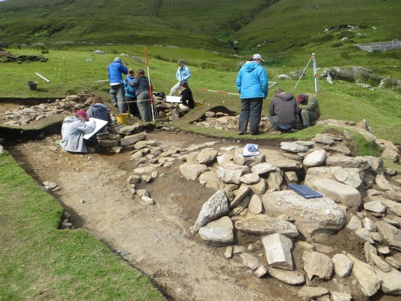
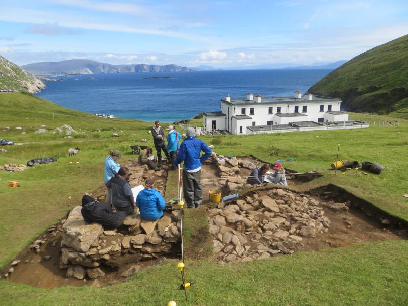
This week was devoted to teaching the students about the various recording methods we use to ensure each excavation provides a full and detailed account of the archaeology that is encountered. Working in small groups the students learned how to record detailed horizontal plans of the structure, first using a planning frame and then using offset tape measurements. They then progressed onto recording large vertical section drawings of the trench edges. Following that it was onto how to set up and use an Autolevel to record height information across the site and how to use a Digital SLR to take a variety of types of site photographs that could be used in a publication. Finally they received detailed instructions and explanations of the ubiquitous context sheet, and then used them to record detailed written descriptions of the various deposits and walls that they had been working on.
On Wednesday we went on our most exciting field trip, crossing the Blind Sound at the southern tip of Achill Island to nearby Achillbeg Island in a traditional currach, a skin covered wooden boat, and then walking around the small abandoned island to see post medieval house ruins, a large coastal midden, a number of promontory forts and a massive ecclesiastical enclosure dating to the early medieval period. Friday was spent helping the group of Module 4 students complete their personal research projects and digitising the plans and sections they had drawn earlier in the week using AutoCad 2014. By the end of the day they had managed to create a very presentable plan of the northern half of the building. This is a very important skill to learn and was a fitting way to complete an intensive week of training.